


Route
Historically, the Segovia Aqueduct is divided into three distinct sections:
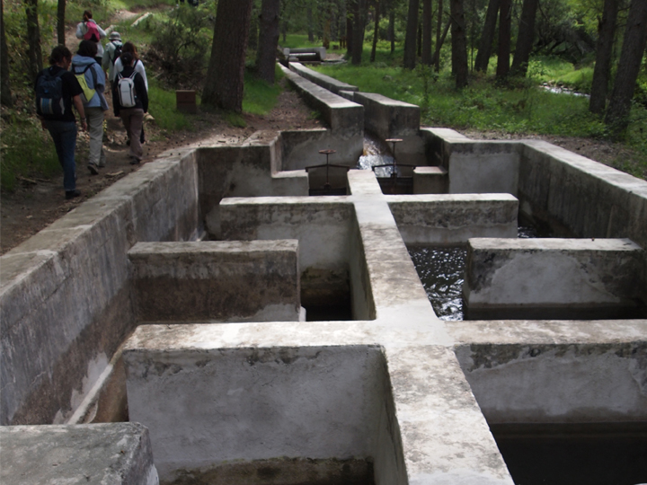
- The out-of-town section, where the water intake and part of the conveyance system are located.
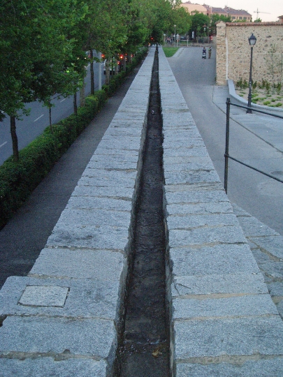
- The peri-urban section. Conveyance.
- The urban section. Conveyance and distribution.
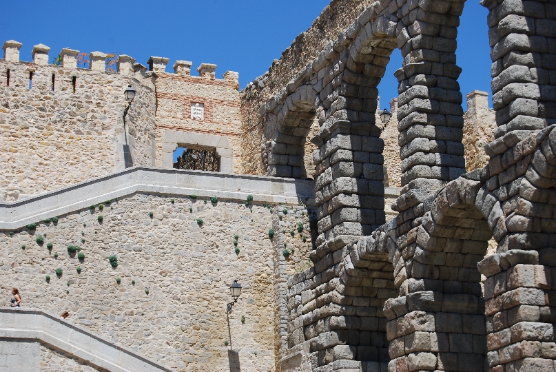
- An aerial and monumental aqueduct
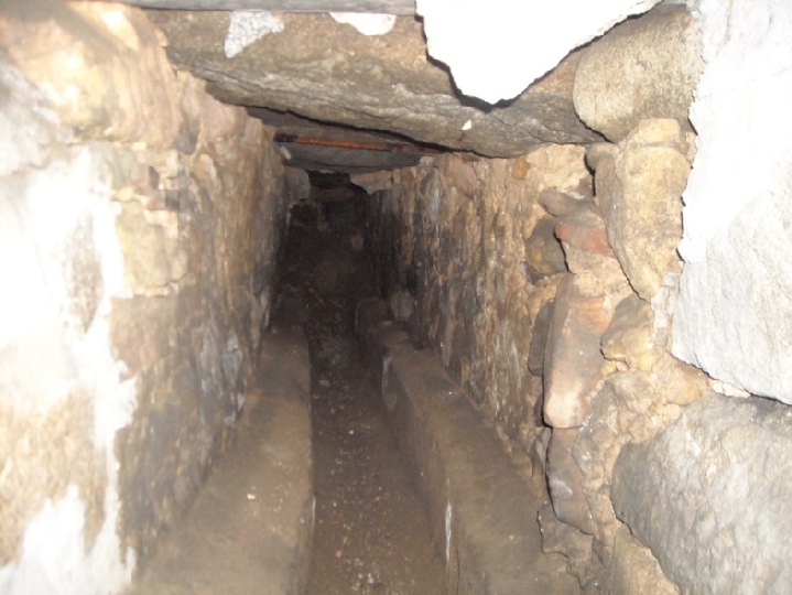
- An underground canal.
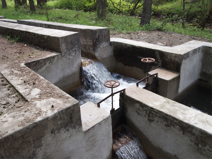
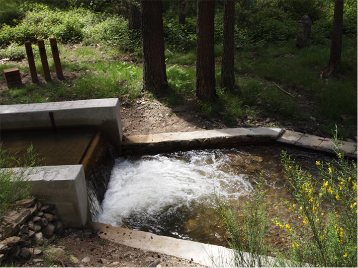
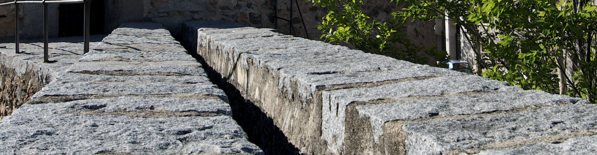
The water intake visible today is mentioned in 15th-century written sources and is formed by a weir on the River Frío, in the Acebeda Valley. After passing through various natural landscapes of exceptional beauty, it reaches Segovia via a gradient. Before rising onto the arches, the water passed through two settling tanks. The route within the city walls begins at the Postigo del Consuelo, forming a sophisticated distribution system via manholes, which in turn branched off into smaller channels supplying fountains and cisterns in private homes. This entire final section ran underground until it reached the present-day Alcázar, the end point of the route, and was known as the ‘Mother of Water’.